THE PEDIGREE OF “BOERUM’S HILL” (1776)
Brownstone Detectives investigates the history of our clients’ homes.
The story you are about to read was composed from research conducted in the course of one of those investigations.
Do you know the history of YOUR house?
********************************************************************************************************************************
What must it be like to have your identity co-opted for the purposes of obtaining personal credit?
Though we cannot ask this question of Farmer Boerum – he’s been dead for more than 200 years – we can guess at what the old Dutch farmer would say.
The name, Boerum Hill, which was commandeered from the colonial farm owned by the Boerum Family, in point of fact had its origination with an actual hill that existed on his farm – located in today’s Carroll Gardens/Gowanus – that was then locally known as “Boerum’s Hill” (then “Fort Boerum” during the Revolutionary War).
Confused? Sure.
Sooooooo…it’s a little like saying, “I named my dog ‘Spot’s Wart’ – after the wart on my dog, Spot.”
OK. Well….maybe not exactly.
But close.
WHAT WAS BOERUM’S HILL?
Boerum’s Hill, first and foremost was a natural topographical feature – an elevation or rise – on the Boerum Farm. We know little of its geographic specifications (height, width, slope, &c.) other than that.
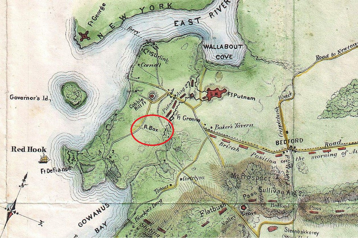
Located in today’s Gowanus/Carroll Gardens area, it was, additionally, a strategic military position known, during the Battle of Brooklyn, as Fort Box (and later, during the War of 1812, as Fort Fireman).
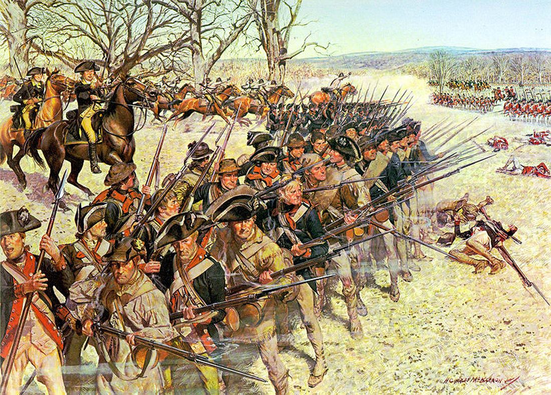
So, we have a good indication, at least, that the hill was of a good enough height that it offered Washington’s Colonial Army an adequate view of the surrounding area.
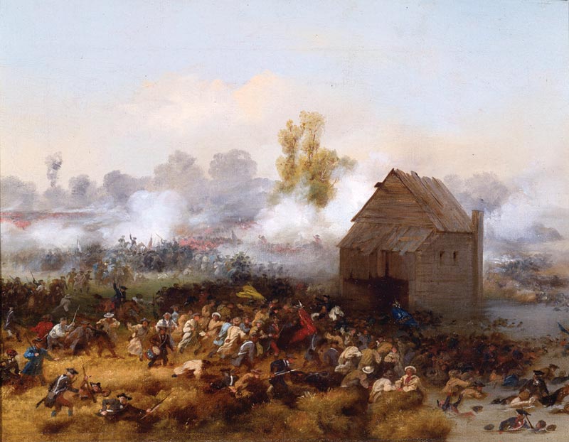
The hill also sat, romantically enough, directly across the Gowanus Canal from Brower’s Mill which is represented in the famous colonial painting.
The landscape that would become Gowanus, Park Slope, Boerum Hill, and other freshly named locations, was very different 250 years ago. It was all meadows, marshes, slopes, hills, and vast acreages of farmland. We wouldn’t know it if we saw it today, but nor would Farmer Boerum – if he were suddenly to appear in Gowanus – recognize his old hill today.
That is, if he could find it.
SO A HILL IN GOWANUS WAS THE NAMESAKE OF A COMMUNITY THAT DIDN’T EVEN ENCOMPASS IT?
Basically, yes.
In other words, “Boerum Hill,” located a dozen or so blocks north or “Boerum’s Hill,” and having been known for much of its existence by the uninspired moniker of “South Brooklyn,” was created in the 1970s when someone discovered that some of the area was owned by the Boerum family in the 1700s.
Thus, the name of the “hill,” that inspired the “military position,” would end up becoming the indecorously poached designation, some 200 years later, that would be attributed to an unrelated community several street blocks north of it.
And, ironically, despite the “hill” in the name, Boerum Hill is quite factually un-hilly. In point of fact, the community is quite literally – flat.
SO WHERE EXACTLY WAS BOERUM’S HILL, THEN?
Henry Onderdonk’s “Revolutionary Incidents of Suffolk and Kings Counties” noted that the “Redoubt at the Mill” on “Nicholas Boerum’s hill,” had a single gun and “commanded the Mill” itself. We know that this was Brower’s Mill.
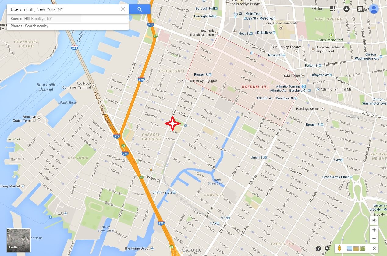
Rocellus Sheridan Guernsey, in “New York City and the Vicinity During the War of 1812-15,” was more specific for us, noting that Boerum’s Hill was “west of Smith Street, not far from the termination of Hoyt and Carroll Streets.”
“Early Long Island: A Colonial Study,” by Martha Bockee Flint, additionally noted that “Fort Box, later called Fort Boerum,” was on Boerum’s Hill, which “was on the margin of the creek.”
With all of these clues, it is easier to triangulate in order to determine the location where Boerum’s Hill once was.
And, of course, as you might have guessed, Boerum’s Hill was not in Boerum Hill. It was in Carroll Gardens/Gowanus.
Which was all quite elementary, my dear Boerum. Elementary.
But, “What happened to the hill?” I hear you ask? Well, it was cut up and spread around. But that, gentle reader, is another story for another time…
———————————————————————————————————————–
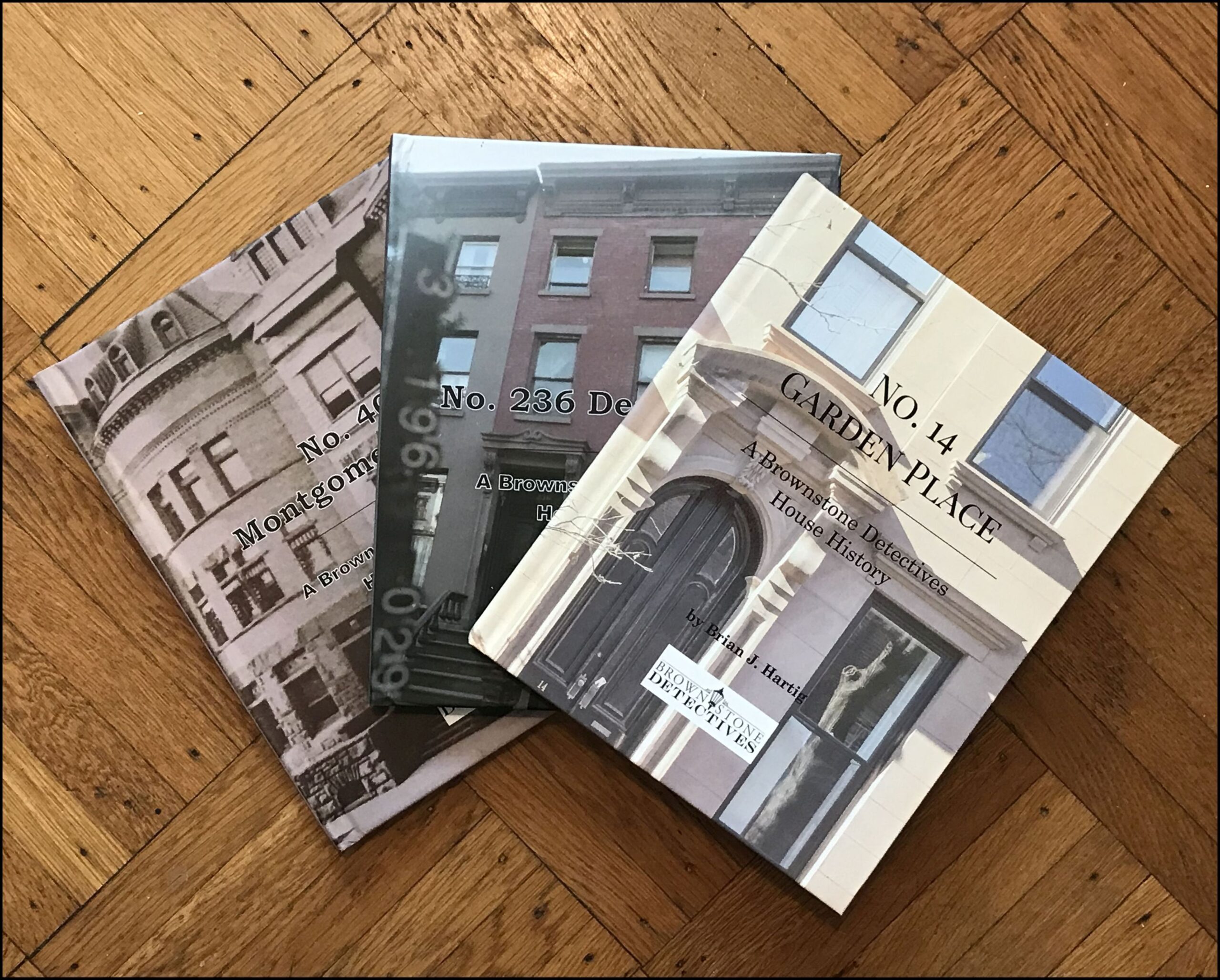 Brownstone Detectives is an historic property research agency. Our mission is to document and save the histories of our clients’ homes. From our research, we produce our celebrated House History Books and House History Reports. Contact us today to begin discovering the history of your home.