A STREET GROWS IN BROOKLYN (1845)
Brownstone Detectives investigates the history of our clients’ homes.
The story you are about to read was composed from research conducted in the course of one of those investigations.
Do you know the history of YOUR house?
********************************************************************************************************************************
The growth of brownstone Brooklyn took place over a great many years. The long contiguous lines of rowhouses rocketed skywards across the city through the economic good times, as well as – at a less robust pace – through the many debilitating recessions.
But rocket they did, leaving the footprints of the many contractors and builders who changed the landscape of Brooklyn into a City of Houses.
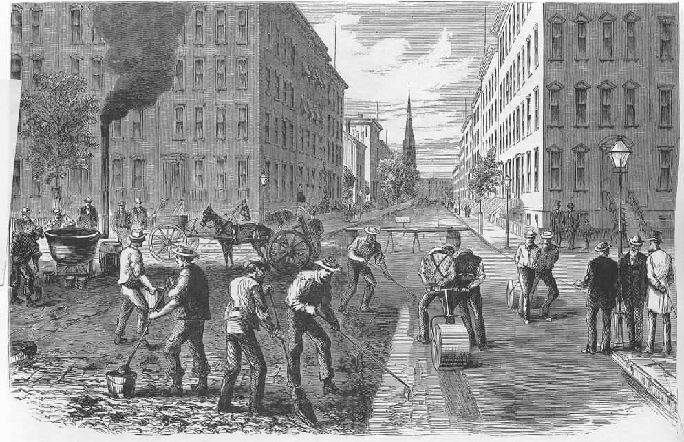
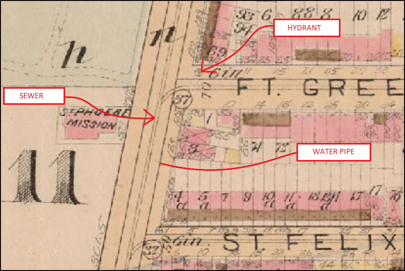
Another mark that the contractors and builders left – although one not as celebrated today – was the complicated system of flagging, pipes, sewers, cisterns, streetlamps, and sometimes trolley tracks, that lined the streets and led to those very rowhouses.
Each delivery and receiving system that connected each rowhouse to the city was an important step toward the development of the city.
Before each row of houses was constructed (and sometimes while they were being constructed, or even soon afterwards), the development of each street and neighborhood was an important part of attracting the homeowners to Brooklyn.
THE BIRTH OF BOERUM HILL
Boerum Hill had only recently been planned for with a street grid system that would develop alongside of a vast network of sidewalks, sewers, street lamps, gas lines, and water mains.
At this time, however, in the 1840s, it barely resembled such a system. It was more of a rustic outback with dusty country lanes, grand frame houses here and there, and fields lain fallow as far as the naked eye could see. These services of gas, light, and water, amongst others, though, would follow, but only as quickly as they were requested by citizens who owned the adjacent land/properties or the politicians who represented them.
All of that, however, was about to change. The grid system had promised much more progress, and land-owners who had only recently been plowing, growing, and selling crops in Brooklyn, saw the new—and increased—value of their lands. As such, they began to divide it up and sell to speculators who planned to get in on the ground level building this vast Brooklyn empire.
This period of great change in the city of Brooklyn – between 1835 and the 1850s – started with houses lining the main existing thoroughfares (such as Fulton street), and popping up in fields that would soon be lined, with the help of surveyors and work crews, with roads.
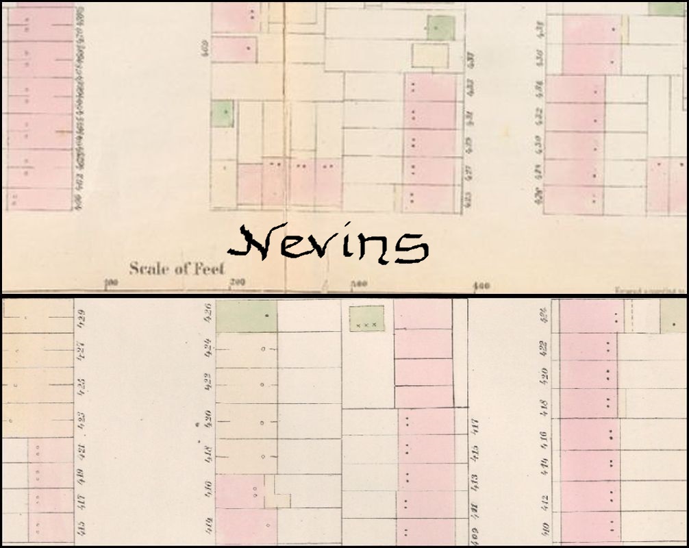
NEVINS STREET: A CASE IN POINT
Nevins Street between Atlantic Avenue (then a “street”) and Pacific street, closer than most of South Brooklyn to the main arteries of the burgeoning city, had an easier time of it, as the water, gas, and other provider links were so close by the more populated and built-up parts of the district. Those links, and their related street building, however, still had to be created, and they were usually—but not always—instituted and connected apace with the building of the abutting homes.
At some point previous to 1845, the city issued a corporation notice requesting estimates for the “grading and paving” of Nevins Street.
As such, it was required that Nevins be paved using certain materials, “cut curb, cut gutter, circular cut corners, and crosswalks at all the intersections,” and to be paved with bank paving stone of the best quality, and “to be eighteen inches of gravel under the paving.”
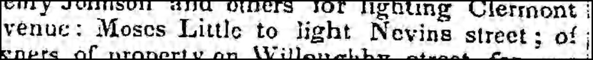
This section of Nevins Street had been opened, graded, and paved at some point in the mid-1840s. Following this, in 1850, was a proposal to have the street lighted.
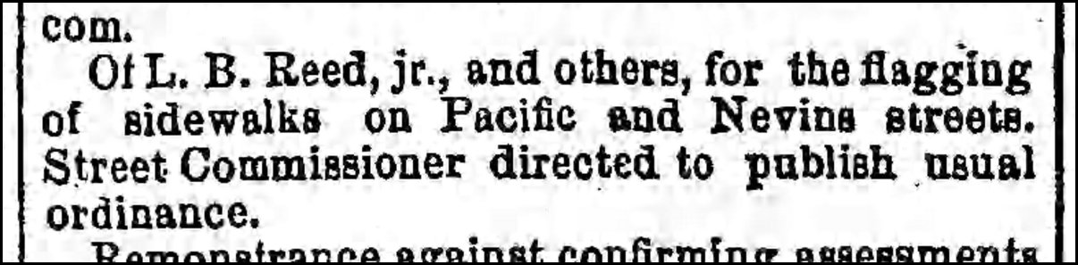
After the next few years, the street having been paved and lighting installed, the houses on this stretch of Nevins Street would be constructed in 1852/3. Soon afterwards, those large and heavy slabs of bluestone pavement, known as flagging, would be called for late in 1854, and installed as sidewalks at some point thereafter.
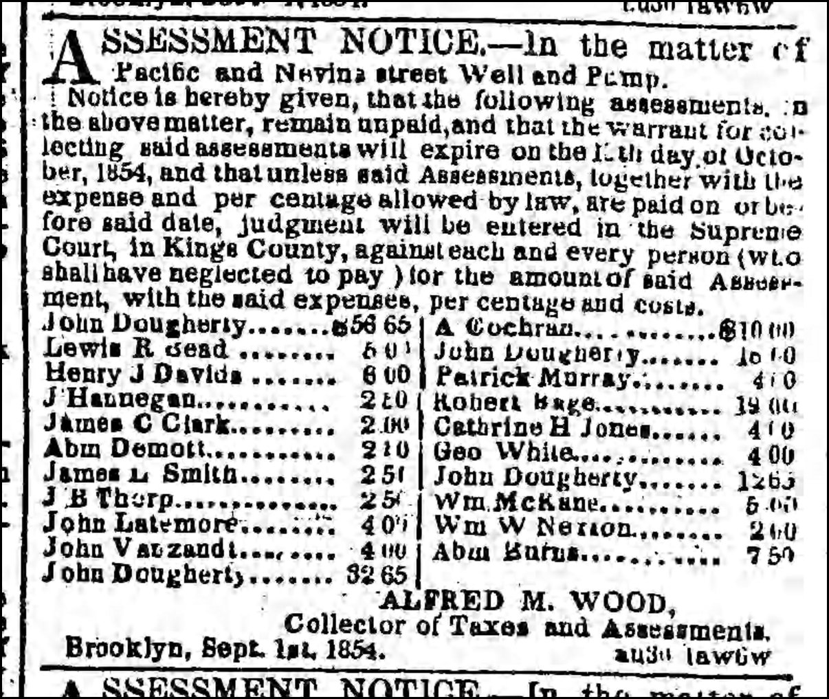
At the same time, the street’s owners were asking the city to provide a well and pump for the provision of fresh water to the houses on the block. Associated with that call, though, was an assessment by the City on the owners of the land abutting the street to pay for this service.
Nothing, of course, was free.
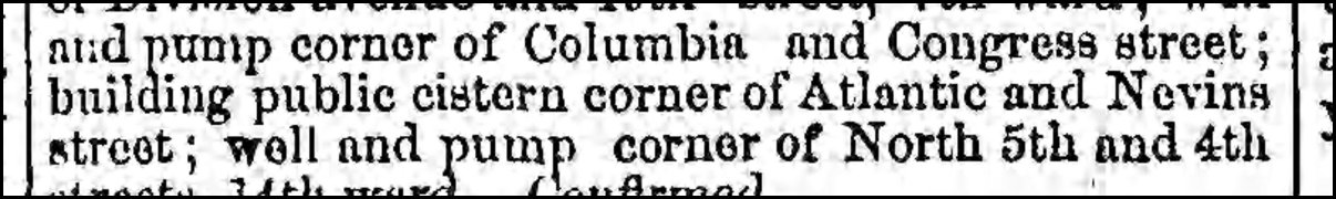
Now that the new neighborhood’s streets had been paved, it became evident over the subsequent 10 years that it would be necessary to redirect the water from rainfall away from the streets and houses and to a system of sewers that would eventually drain into the Gowanus Creek.
Thus, around 1855, a cistern was installed at the “corner of Atlantic and Nevins street,” that would work as a sort of catch basin for the heaven’s deluges that would visit upon the city from time to time.
So, it was that around the mid-nineteenth century, Nevins Street, between Atlantic Avenue and Pacific Street was rather fully built up not only with rows of houses, but also with the systems of service delivery that made it a modern street.
———————————————————————————————————————–
 Brownstone Detectives is an historic property research agency. Our mission is to document and save the histories of our clients’ homes. From our research, we produce our celebrated House History Books and House History Reports. Contact us today to begin discovering the history of your home.